How to Find New Gravel Roads and Trails Near You
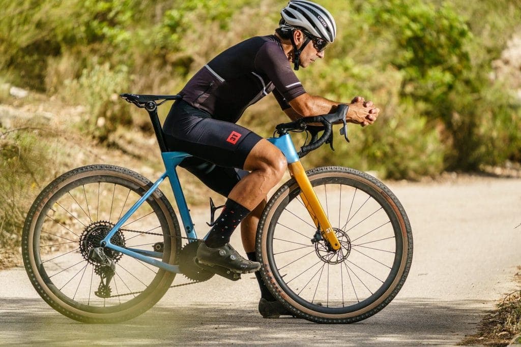
Cyclists love taking their road bikes on a nice smooth road for a quick workout, but there always comes a time when we’re craving some trails for our gravel bikes to enjoy.
Are you having a tough time finding new gravel roads and trails in your neck of the woods?
You’re not alone. Sometimes, finding those trails that are hidden gems is no easy task.
Luckily, we have a wealth of options that will allow you to find the best gravel roads and trails, no matter where you live.
On This Page
General Online Resources
While you might be able to find some old-school paper trail maps at a library or around your town, you’re going to find most of your trails using a bevy of online resources.
Strava
With more than 50 million users, Strava is one of the largest online fitness communities you can join today. And, as a result, there are countless gravel roads and trails stored in the app’s database waiting for you to check out.
Go to Strava Heatmap and turn on the necessary filters and you’ll be presented with all the popular routes among cyclists in the local area you selected. These data are collected based on the millions of rides uploaded by cyclists over many years.
Better yet, Strava’s latest updates can let users simply follow a route that they find, or they can adjust that route to better accommodate their ride. If you want to add a hill, you can input into Strava that you’re looking to add some incline to your ride, and the app will generate an updated route.
In popular cycling destinations, this is a great tool to custom-tailor your rides.
Ride with GPS
For those with high-end, super-precise GPS devices that they bring out into the most remote areas, you should have an endless stream of options for gravel roads and trails.
Ride with GPS has a Find A Route feature where you can search gravel and see a host of options, no matter where you’re located.
The best part is that it will automatically generate for you turn-by-turn instructions that you can then load onto your bike computer, which is extremely helpful if you’re riding an unfamiliar trail. If you’re a paid subscriber, you can even customize the turn-by-turn instructions to your preference.
Gravel Map
Gravel Map is an interactive database of all the gravel and dirt road paths in the area. The site is rather robust thanks to its community that uploads the routes to the database.
Remember, most map apps can’t distinguish a paved road from a gravel road if you’re in the mood for some gravel grinding. So, you typically need to rely on satellite imagery to see if the road is gravel or paved.
While reviews of Gravel Map are highly favorable, it’s certainly not perfect. If you’re riding in rural areas, for instance, you’re relying on the community to post routes that doesn’t include private property. It’s always a good idea to be aware of your surroundings and make sure you’re not biking on someone’s private property.
As a bonus, you can export a GPX from Gravel Map and upload it to your GPS or Strava app.
TrailLink
TrailLink is one of the most comprehensive websites and apps to find that perfect gravel road.
TrailLIink’s database touts more than 37,000 miles of trails and roads designed for biking and hiking. To find the best gravel roads near you, simply type in your city or state and then the word gravel in the keyword section. The app will give you nicely curated results.
In Colorado, for instance, the 3.7-mile Fairmount Trail is a nice mix of dirt and gravel. What’s really nice about TrailLink is that you can see user photos of the trail and read their reviews. Each trail also includes specific directions about trail endpoints, which makes finding your starting points easy.
As a premium subscriber to the service, you can download trails for offline use and export GPX files.
US Forest Reserve
TheU.S. Forest Reserve has done a decent job of compiling open forest roads for your mountain biking needs, but you’ll need to do some searching on the organization’s site.
First, you need to pick the National Forest you want to ride, and then choose your activity. In this case, you’d pick bicycling.
One option you’ll see is the Safford Recreation Area in Arizona, which is home to the state’s most extensive mountain range, the Pinaleños.
The U.S. Forest Reserve does a good job at giving you all the necessary information you need about its recreation areas, but they don’t offer things like exporting trails to GPX files to use with your apps offline.
The Great American Rail-Trail
The Great American Rail-Trail is an ambitious project to convert old rail lines into trails for biking, hiking, and running across 12 states. Many states, like Michigan, have developed statewide rail-trail systems, but this is the country’s first multi-use trail that stretches across multiple states.
The trail, which goes from Washington State to Washington, D.C., is roughly 3,700 miles.
Trail development is still ongoing. To date, 10 of the 12 states have some trails setup, but there’s still a long way to go. Once complete, though, this rail-trail is certainly going to be a national treasure. Cyclists will undoubtedly take up the challenge of completing the entire trail on what would be an epic trip.
Trail Forks
TrailForks is an online trail database that was actually designed for trail associations to keep track of trial conditions and build-out work plans for those trails, but it’s a nice resource for cyclists looking to do some gravel grinding.
Either using the website or the app, you can browse trails in your area. Because this app is designed for trail associations, the level of detail is extremely thorough.
Go check out the Midland City Forest in Michigan, for example. TrailForks gives a nice description of the four loop trails inside the forest and some tips and tricks along the way. The South Loop, for instance, is pretty swampy until things dry out in June or July. It’s also pretty rooty.
Users can upload photos and videos of the trails, along with their reviews and suggestions. We really like the reports tab, which allows users to give updated reports on trail conditions.
Google Maps
Google has done a decent job over the past several years of making it easier for bicyclists to find unpaved roads for a weekend ride. Here’s how you do it :
- Pinpoint in on a location and then toggle over to bicycling mode. You should see a bunch of green lines appear on the map.
- A solid green line designates a paved trail for biking. A dotted green line means it’s unpaved. It’s really that simple!
Google Maps is a great resource for planning a trip, but we recommend then using a more indepth service, like TrailLink or Strava to hone in on a specific trail.
Location Specific Resources
Depending on where you live, there could be some nice local resources for gravel roads.
Colorado Gravel Roads
With the Rocky Mountains in your backyard, the state of Colorado is heaven for mountain bikers. And while the site is a bit messy to maneuver, ColoradoGravelRoads.com is an incredible resource that documents every single gravel road and mountain biking trail in the state.
Pick a trail from the drop-down menu, like the Platte River Ramble, and then zoom in to see the boundaries of the trail.
You can even download the map to a GPX file if you want to use it with apps, like Strava.
Iowa Gravel Roads
While Iowa may not seem like a mountain biking mecca, there is a surprisingly high number of trails to tackle.
From the same developer as the Colorado Gravel Roads site, Iowa Gravel Roads offers an incredible number of trails and gravel roads. Like the Colorado site, you can download maps to your favorite cycling apps or GPS devices.
Pennsylvania Unpaved Roads
Pennsylvania Unpaved Roads is an incredible resource of what feels like every possible unpaved or gravel trail for mountain biking. But the site, compiled by students at Penn State University, is limited in terms of details of the trails.
Check your location in Pennsylvania and then search for the trails, which are highlighted in red. You can see the length of the trail when you click on it, but that’s about it.
In terms of at least finding an unpaved trail, though, this site will get the job done.
Travel Oregon
The official tourism site for the state of Oregon, Travel Oregon offers some nicely curated content on the best gravel roads and biking trails you can take advantage of in the Beaver State.
While the site doesn’t give you a comprehensive list of all gravel roads and mountain biking trails in Oregon, it does give you some nicely laid out blogs, like 3 Days, 3 Exciting Bike Routes, or Steens Mountain Loops – a 276-mile Extreme Riding Trail.
By occasionally checking in on this site, you can find some pretty incredible rides.
Are you planning an Oregon trip? Check out Yachats located on the Oregon coast.
Dirty FreeHub
Dirty Freehub is another online site that curates some of the best gravel rides in the western United States, in addition to Tasmania.
The site suggests you sign up with Ride With GPS so you can download routes directly to the app. They suggest using Wahoo as your GPS.
Click one of the states to see what’s available. In Idaho, for example, there’s the Dollarhide Summit. Dirty Freehub does a nice job of breaking down everything you need to know about this ride. The out-and-back trail, for example, is 90% gravel and 10% paved. It’s a moderate ride, but very scenic.
Users can submit their own routes to Dirty Freehub, but the owners of the site make sure to thoroughly vet those submissions to make sure the trails are reliable. This is an advantage over an open-source network, which could lead you to trails not on public property.
Adventure Riding NZ
Adventure Riding NZ is New Zealand’s ultimate resource for finding great gravel roads to ride on.
Members of the site do a great job of not only sharing their rides but also organizing group rides.
The site does a nice job of curating the top off-road rides in New Zealand but isn’t as robust as some of the open-source networks that are available to cyclists today.
That being said, each trail includes an incredible amount of detail of what you can expect, which is very valuable for places you’ve never been to before.
At roughly 6,700 members today, the site is a decent size and should only get better as it continues to grow.
Ask Your Local Bike Shop
Your local bike shop is a great resource for discovering new gravel roads and mountain biking trails. The owner and employees of these shops live for riding (they wouldn’t be working there if they didn’t!) so they’re also going to know where the best spots are located.
Better yet, sometimes those shops host special riding events. Check into their schedule and see if there are any gravel-related events that you can take advantage of. Chances are good it’ll be in a location you’ve never ridden before.
Search Facebook Groups
If you live in a larger metropolitan area, chances are good there are a handful of Facebook groups dedicated to biking.
Make sure not to join the bigger, national groups. Search for the hyper local groups that really know the area. The community in those groups tend to be really strong and fellow members will be excited to offer up their best gravel road and trail recommendations.
Ask Around in Your Local Bunch Rides
Are you a member of a local cycling club?
Ask your clubmates if they’ve taken their mountain bikes out on any new gravel trails lately.
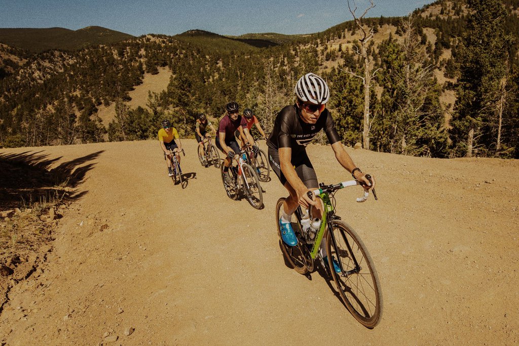
Better yet, invite them out for a group ride. There’s nothing better than tackling some trails with a group of friends.
Read More : 23 Bunch Ride Best Practices
Check Out Gravel Riding Events
Many of the options above host special events dedicated to gravel roads and trail riding. Additionally, your local bike shop might also host similar events.
Pay attention to those events if you want to find the coolest gravel roads and trails near you.
Author Recommended Reads